HOME> Expert Assessments>Hazards Outlook
For 3-7 day hazards see Weather Prediction Center's: WPC 3-7 Day Hazards
U.S. Week-2 Hazards Outlook - Made May 17, 2024 | About the Hazards Outlook
| Categorical Outlooks Day 8-14 |
Experimental Probabilistic Outlooks |
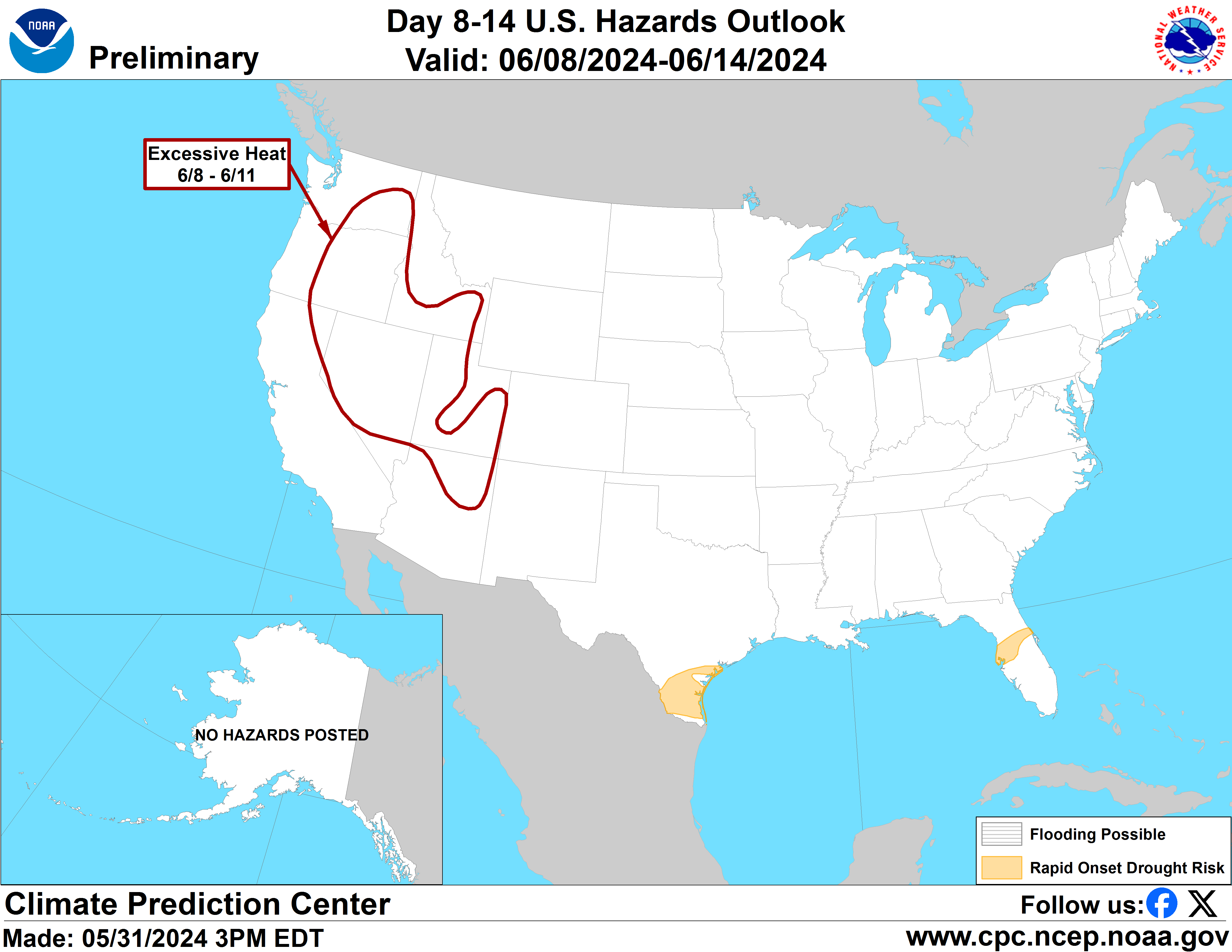 |
Valid Saturday May 25, 2024 to Friday May 31, 2024
US Hazards OutlookNWS Climate Prediction Center College Park MD
300 PM EDT May 17 2024
Synopsis: Mid-level high pressure is forecast across the Southern Tier of the contiguous U.S. (CONUS) during week-2. This favors increased chances for anomalously warm temperatures, and excessive heat conditions possibly affecting parts of the Southern Plains and the Florida Peninsula. Mid-level low pressure predicted across the northwestern and north-central CONUS early in the period could lead to a disturbance traversing the CONUS supporting increased likelihood for heavy precipitation across portions of the central and east-central CONUS, along with elevated wind speeds across the Four Corners and High Plains as this potential system ejects out of the Rockies early in week-2.
Hazards
- Moderate risk for excessive heat across southern Texas Sat-Mon, May 25-27.
- Slight risk for excessive heat across portions of the Southern Plains, Sat-Wed, May 25-29.
- Slight risk for excessive heat across portions of the Florida Peninsula, Sat-Tue, May 25-28.
- Slight risk for heavy precipitation across portions of the Plains, Mississippi, Tennessee, and Ohio Valleys, Great Lakes, and Southeast, Sat-Mon, May 25-27.
- Slight risk for high winds across parts of the Four Corners and central and southern High Plains, Sat-Mon, May 25-27.
- Rapid onset drought risk across the southern Florida Peninsula and southern Texas
For Monday May 20 - Friday May 24: WPC Days 3-7 U.S. Hazards
For Saturday May 25 - Friday May 31:
Forecaster: Ryan Bolt
$$ Please consult local NWS Forecast Offices for short range forecasts and region-specific information.
Resources
Week-2 Probabilistic Extremes Tool
GFS Ensemble Forecasts