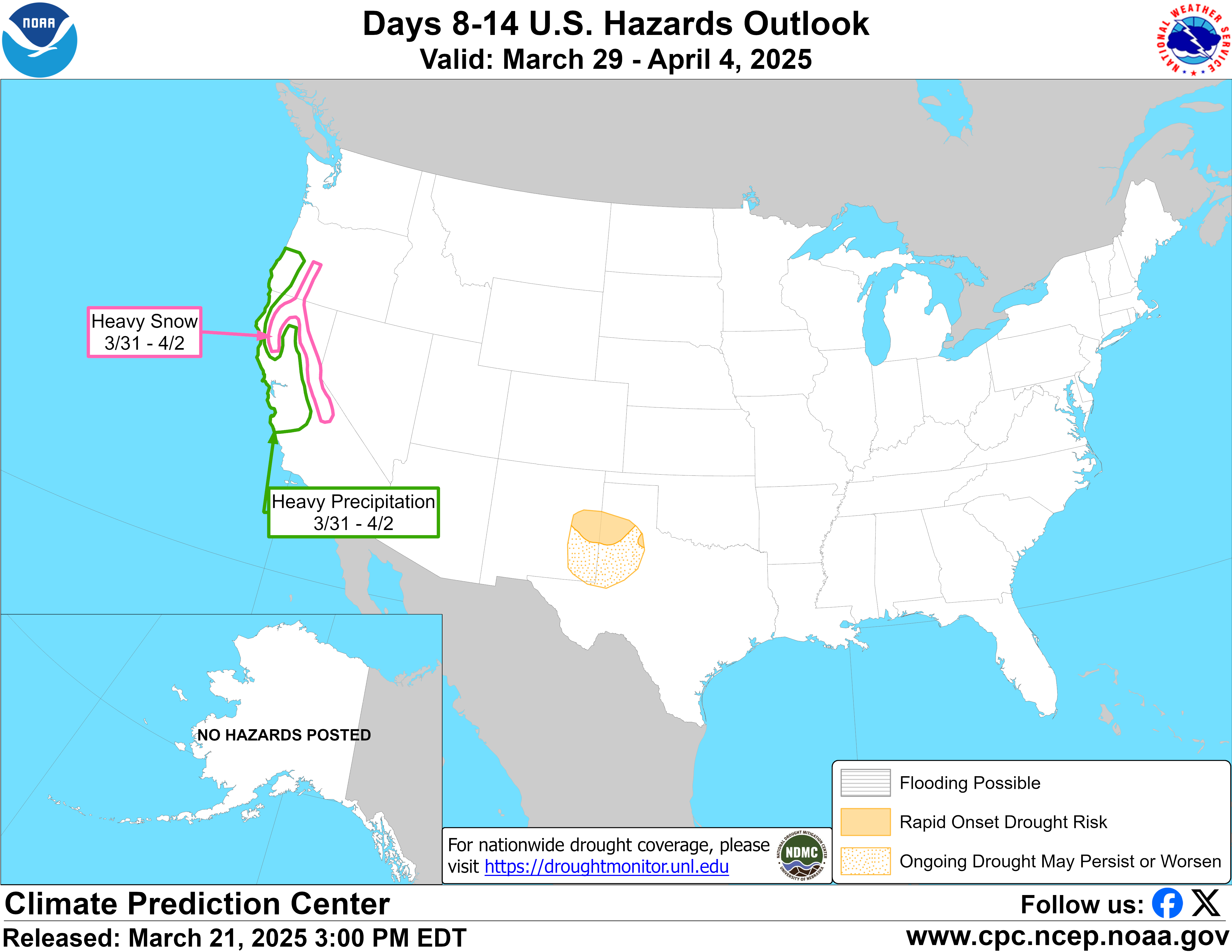
Valid Wednesday November 18, 2026 to Tuesday November 24, 2026
US Hazards Outlook NWS Climate Prediction Center College Park MD 300 PM
EST November 10 2026
Synopsis: Mid-level low pressure is forecast
to extend from the Aleutians southeastward to the West Coast during mid to late
November. An active pattern is likely across the western and central Contiguous
U.S. (CONUS) as multiple low pressure systems track eastward from Nov 18 to 24.
The enhanced Pacific flow favors above-normal temperatures for a majority of
the CONUS with no sign of any early season outbreaks of anomalous cold.
Hazards
Slight risk of heavy precipitation for eastern
parts of the Southern and Central Plains, as well as the Lower and Middle
Mississippi Valley, Thu-Tue, Nov 19-24.
Slight risk of heavy precipitation for parts of California, and
southwestern Oregon, Wed-Tue, Nov 18-24.
Slight risk of heavy precipitation for parts of Arizona, Wed-Fri, Nov 18-20.
Slight risk of heavy snow for higher elevations of the Klamath, Sierra
Nevada, and Wasatch Mountains along with the Central to Southern Rockies,
Wed-Tue, Nov 18-24.
Slight risk of high winds for much of the West and Great Plains, Wed-Tue,
Nov 18-24.
For Wednesday November 18 -
Tuesday November 24: The GEFS, ECENS, and CMCE remain consistent with
multiple shortwave troughs ejecting from the Southwest and resulting in leeside
cyclogenesis from Nov 18 to 24. Despite the high confidence in multiple low
pressure systems affecting the Great Plains and Mississippi Valley, there is
large spread among the ensemble members (GEFS, ECENS, and CMCE) on their
north-to-south track and strength. The heaviest precipitation (7-day totals of
1.5 to 2”+ in the ensemble means) is forecast across the Ark-La-Tex region.
Given the uncertainty on the timing of the heaviest precipitation and the dry
antecedent conditions, only a slight risk of heavy precipitation (valid Nov
19-24) is posted for the south-central CONUS. Instability should be sufficient
to support thunderstorms, probably south of the 40th parallel. Based on the
uncalibrated ECENS (> 20% chance of more than one inch), the slight risk was
expanded northward across the Mississippi Valley. According to the U.S. Drought
Monitor valid on Nov 3, 82 percent of Arkansas is designed with D3 to D4. This
wet latter half of November will be largely beneficial and bring much needed
drought relief to the Ozarks, Middle to Lower Mississippi Valley, and Southern
Great Plains.
If a 500-hPa trough closes off over the Four Corners with a deepening
surface low across southeastern Colorado, then there would be a winter storm
risk for the greater Denver area. Since there is some support for this outcome
given the large-scale pattern and among ensemble members, a slight risk of
heavy snow (valid Nov 18-24) includes the Colorado Front Range and southeastern
Wyoming.
From southwestern Oregon southward through California, the amplified
500-hPa trough and onshore flow are likely to bring periods of rain and
mountain snowfall through late November. The strongest signal for an
atmospheric river precedes the beginning of week-2 (Nov 18) with the ECMWF and
GEFS depict probabilities of IVT values greater than 250 kg/m/s sharply
diminishing after day 5 (Nov 15). Considering the lack of model support for an
AR in the week-2 time period and overall lower probabilities that 3-day amounts
reach hazardous thresholds, no moderate risks of heavy precipitation or heavy
snow are posted for the West Coast states. However, the persistent longwave
pattern and uncalibrated model output support a slight risk of heavy
precipitation and heavy snow (Klamath and Sierra Nevada Mountains) through the
end of week-2, Nov 24. The slight risk of heavy precipitation does not extend
north of southwestern Oregon since the ECENS and GEFS Probabilistic Extremes
Tools (PETS) depict less than a 20 percent chance that 3-day precipitation
amounts exceed the 85th percentile. Also, the latest model guidance supported
discontinuing the slight risk of heavy precipitation across Arizona after
November 20. Due to multiple low pressure systems forecast to emerge from the
western CONUS in response to the amplified 500-hPa trough upstream, a slight
risk of high winds is posted from the West Coast east to the Great Plains
though Nov 24th. The spatial coverage of the high wind hazard is consistent
with the analog tool derived from the ECENS and GEFS 500-hPa heights.
Although the persistent longwave trough over the North Pacific is likely to
result in periods of enhanced winds and precipitation to southwestern Alaska,
hazardous thresholds are not expected to be reached.
Forecaster: Brad
Pugh
$$
Please consult local NWS Forecast Offices for short range forecasts and region-specific information.
 www.nws.noaa.gov