|
A series of maps showing most recent day, monthly
and 12 months calculated soil moisture, anomalies and percentiles; 25-year average soil
moisture & soil wetness that are used in the soil moisture outlook.
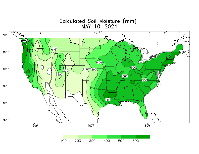
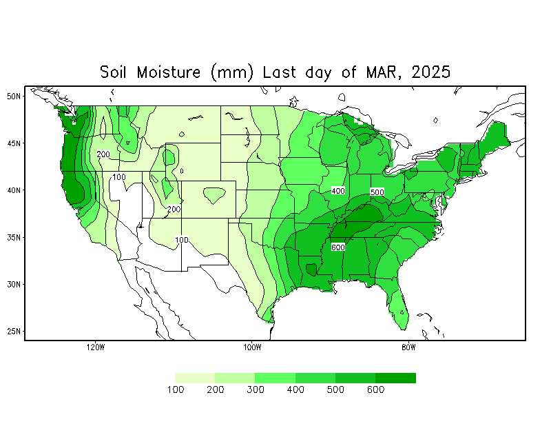
Soil Moisture
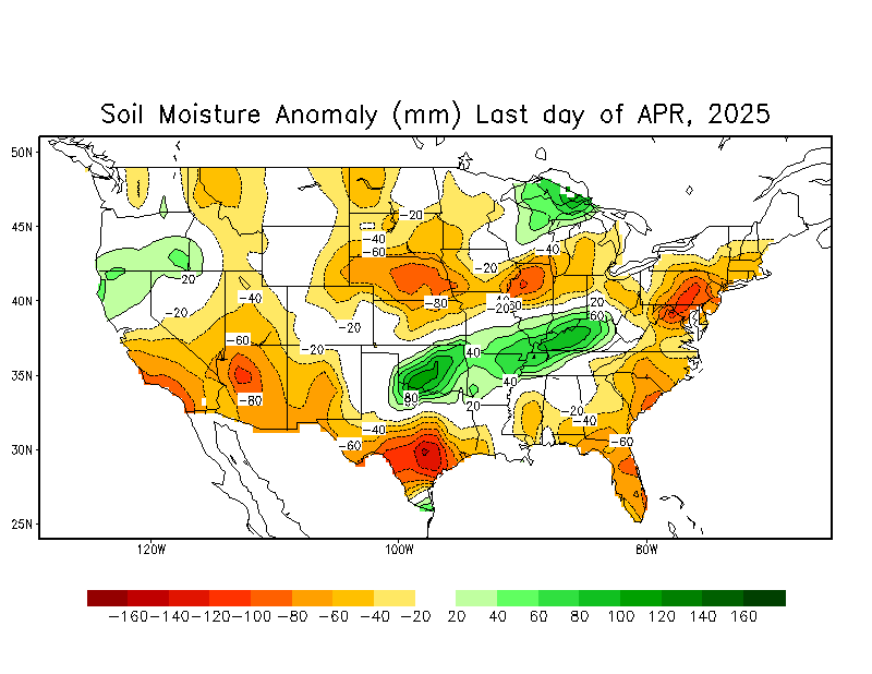
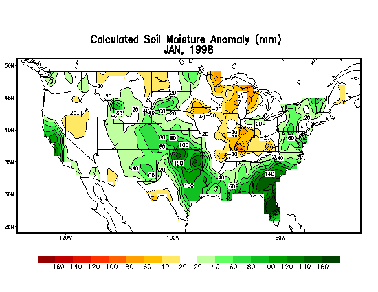
Soil Moisture Anomaly
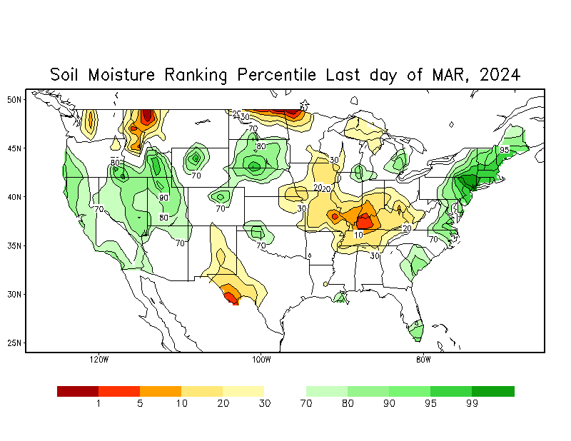
Soil Moisture Percentiles
Monthly Soil Moisture Climatology
Soil Moisture Animated Loop
|
Notes:
|
|
Full Field:
|
unit is mm and
the maximum is set to be 760 mm in the model. With a porosity of 0.47 this corresponds to a model
depth of about to 1.6 meters
|
|
Wetness: |
ratio of calculated soil moisture (mm) to the maximum (760 mm)
|
|
Anomaly:
|
departure from
1991-2020 Climatology (unit: mm)
|
| Ranking
Percentile:
|
from 1932-2000
period
|
|


